
Curry Hammock & Bahia Honda Paddle Field Guide
We field-tested two Florida Keys launches with one goal: know whether the paddle plan will work before committing the family to it. Here are the exact access points, what launched, what rented, and what changed once we were on the water.
Field-checked 6 and 7 September 2026
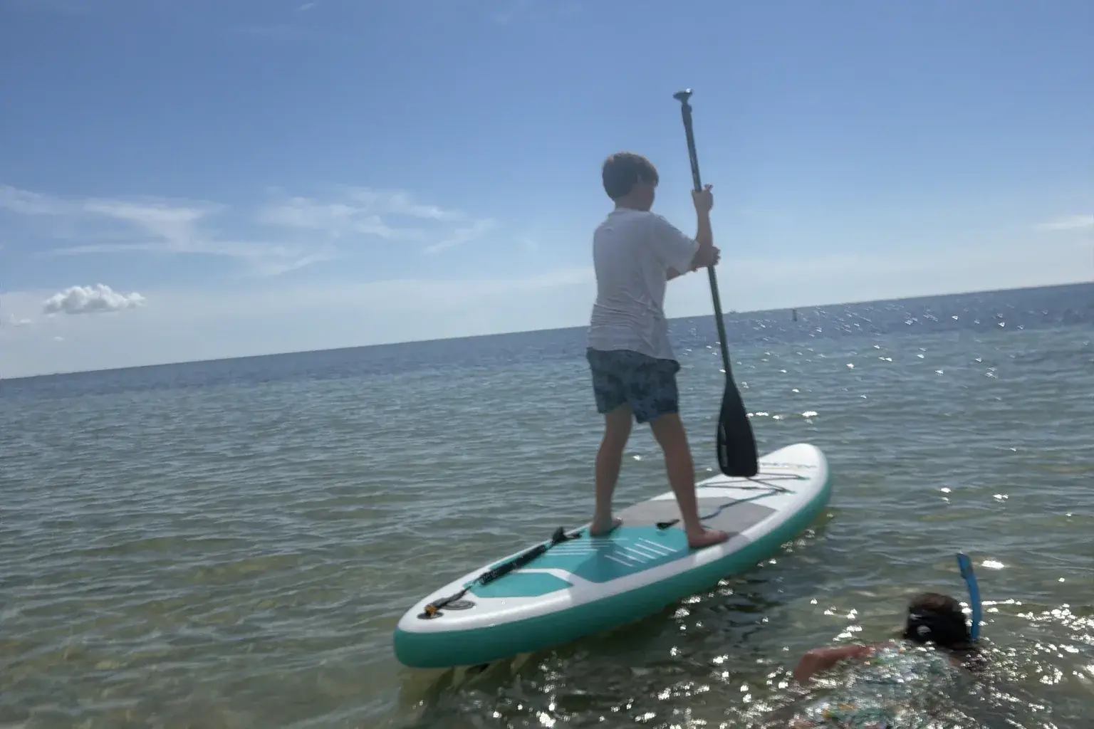
A paddle location can look perfect online and still leave the questions that decide whether your day actually works: Where do you put the board in? Can one person bring a SUP while two others rent a kayak? How far is the carry? Is the route passable at the expected water level? Can you find the destination from shore?
We field-tested two Florida Keys launches with one goal: know whether the paddle plan will work before committing the family to it.
Quick comparison
| Planning question | Curry Hammock | Bahia Honda, Atlantic side |
|---|---|---|
| Plan verdict | Conditional go | Go for a calm morning after checking conditions |
| Exact access | Launch pin | Beach/SUP access |
| BYO inflatable SUP | Successfully launched during field visit | Successfully launched during field visit |
| Rentals | Tandem kayak field verified through self-service QR flow | Single and double sit-on-top kayaks operator verified |
| Mixed BYO/rental group | Completed: one BYO SUP and one rented tandem kayak launched together | Not field-tested as a mixed group |
| Carry/setup | Close parking and a short carry | Short carry, close parking, wide concrete approach |
| Facilities | Restrooms, with a freshwater rinse shower behind them | Restrooms, changing area and outdoor rinse showers nearby |
| Main planning variable | Water level and route choice | Current wind and water conditions |
| Destination visibility | Sandbar not visible from launch | No off-site destination evaluated |
Marathon · Middle Keys · field-checked 6 September 2026
Curry Hammock: build a route decision, not just a route
On 6 September 2026 our group launched together at Curry Hammock: one BYO inflatable SUP from the car and one tandem kayak rented through the self-service QR rental at the launch. Everyone got on the water from the same place without arranging an off-site rental delivery. The exact launch we used is this pin.
At the launch, parking was close, the carry was short, and there were restrooms with a freshwater rinse shower behind them.
The rental process was surprisingly convenient. It was self-service through a QR workflow, with photo documentation, QR-operated locks, assigned equipment slots and Apple Pay. We did not preserve the rental duration or fee breakdown from our own transaction, so this guide does not quote a rate; check the kiosk or the operator before you rely on a price. Inventory and the QR check-out can change between visits too, so confirm a rental is available before your group counts on it.
The route changed after launch
We first headed toward the mangroves. The route became too shallow, so we turned around before getting committed. That moment is the difference between knowing a launch exists and knowing a plan can work.
The park map showed:
- A 1.2-mile Mangrove Tunnel Loop
- A 1.3-mile Deer Key Loop
- A sandbar approximately 0.33 mile from the launch
The mangrove route did not work under the water level we encountered on 6 September 2026, but another choice remained. After moving toward open water, boats gathered in the distance made the sandbar’s general location apparent. The sandbar could not be seen from the launch itself.
That is useful field knowledge, but “follow the boats” is not responsible navigation advice. Boats may not be present. A future PaddlePin record should supply a verified waypoint, current conditions and an explicit fallback.
Craft fit is part of plan fit
The SUP paddler reached the sandbar. The tandem-kayak paddlers turned back when the fixed seated position caused leg numbness for one paddler. That does not make the route unsuitable for tandem kayaks; it shows why group confidence has to include comfort, mobility and the selected craft — not only mileage.
For Curry Hammock, a good plan sounds like this:
If the mangrove route has sufficient water and the group is comfortable, take the selected mapped loop. If it is too shallow, return and reassess rather than forcing passage. Consider open water only if current wind, water, visibility, navigation and individual comfort support it.
Curry Hammock State Park - Little Crawl Key Loop
Beginner routeFlorida Keys · Monroe County · Florida Bay / Atlantic coastal waters
A compact Florida Keys paddle with mangrove-tunnel and Deer Key loops, a sandbar about a third of a mile out and short open-water sections. Conditional go: the mangrove route depends on water level, so plan a fallback before you launch.
Big Pine Key · Lower Keys · field-checked 7 September 2026
Bahia Honda: the launch setup reduces friction
At Bahia Honda, the Atlantic-side morning paddle was calm, clear, shallow and beautiful. That description applies to the conditions observed on 7 September 2026 — not every morning on the Atlantic side.
What made the plan work was not only the water. It was the transition from car to water and back:
- Close parking
- A short, manageable carry
- A wide concrete approach toward the beach
- Nearby restrooms and changing space
- Outdoor rinse showers
- Shade from the car while deflating and packing
The exact beach/SUP access and nearby restrooms and rinse showers remove two common arrival uncertainties.
Rentals at Bahia Honda
The park concession listed stable sit-on-top kayaks when checked on 7 September 2026:
- Single kayak: $12 per hour or $36 for a half day
- Double kayak: $18 per hour or $54 for a half day
- Concession hours: 8 a.m.–5 p.m.
- Park hours: 8 a.m.–sunset
Confirm prices, operating hours and availability before depending on a rental. Rental information and the park FAQ can change after the checked date.
Bring the pump
The electric pump was the gear champion of the trip — and two other visitors borrowed it. We did not confirm a dedicated inflation station at Bahia Honda. If your plan depends on an inflatable SUP, bring a charged pump and avoid turning an easy launch into a long manual-inflation session.
Bahia Honda State Park
Beginner routeFlorida Keys · Monroe County · Atlantic Ocean / Gulf of Mexico side waters
A flexible coastal paddle from either the ocean or Gulf side of Bahia Honda, with clear Keys water, beach scenery and iconic bridge views. The ocean-side beach access has a short carry from close parking, with restrooms and rinse showers nearby.
Bringing your board while someone else rents?
We did this at Curry Hammock on 6 September 2026. Our group launched one BYO inflatable SUP and one tandem kayak rented through the self-service QR rental at the launch, and everyone got on the water from the same spot. Parking was close, the carry was short, and restrooms, with a freshwater rinse shower behind them, were nearby.
That was one visit. Rental inventory, prices and the QR system can change, so treat our day as proof that the arrangement can work, not a promise that a rental will be waiting when you arrive. At Bahia Honda, we brought a SUP and checked rental options, but did not test a mixed rental-and-personal-craft outing.
Before booking for your group, ask the rental operator:
- Can rented and personal craft launch and return at the same place?
- Does everyone meet at the waterfront, or check in somewhere else first?
- Are there personal-craft limits, waivers or launch fees?
- Where can we unload and inflate, and when must the rental be back?
Start with the shared launch arrangement, then choose the rental. A nearby rental business alone does not establish that everyone can get on the water together.
The five-part “will my plan work?” check
Before leaving for either launch, verify:
- Access: the exact launch pin, BYO status, operating hours and any advisories.
- Craft: rental availability or charged inflation gear, plus seating that fits each paddler.
- Conditions: wind, weather, water level or tide, and route exposure for the time of the paddle.
- Route: distance, visibility, navigation, turnaround point and a fallback that the group understands.
- Recovery: parking, carry, rinse, changing, shade and enough time to pack before the next activity.
Bottom line
Curry Hammock offered more route choice, but it demanded more active decision-making: the mangrove option was water-level dependent and the sandbar was not visible from shore. On our visits both launches had close parking, a short carry, restrooms and a rinse shower; Bahia Honda also had changing space and a wide concrete approach toward the beach.
The best launch is not simply the prettiest pin on a map. It is the one where your specific group can arrive, launch the right craft, complete a suitable route, adapt when conditions change, and get everything packed again without the day unraveling.
That is the standard PaddlePin should make visible: know your paddle plan will work.
Explore the exact paddles on PaddlePin
More Florida water: explore every researched location, or go back to all guides.